Small Acts of Public Service
2005 site-based project
Manila, Philippines
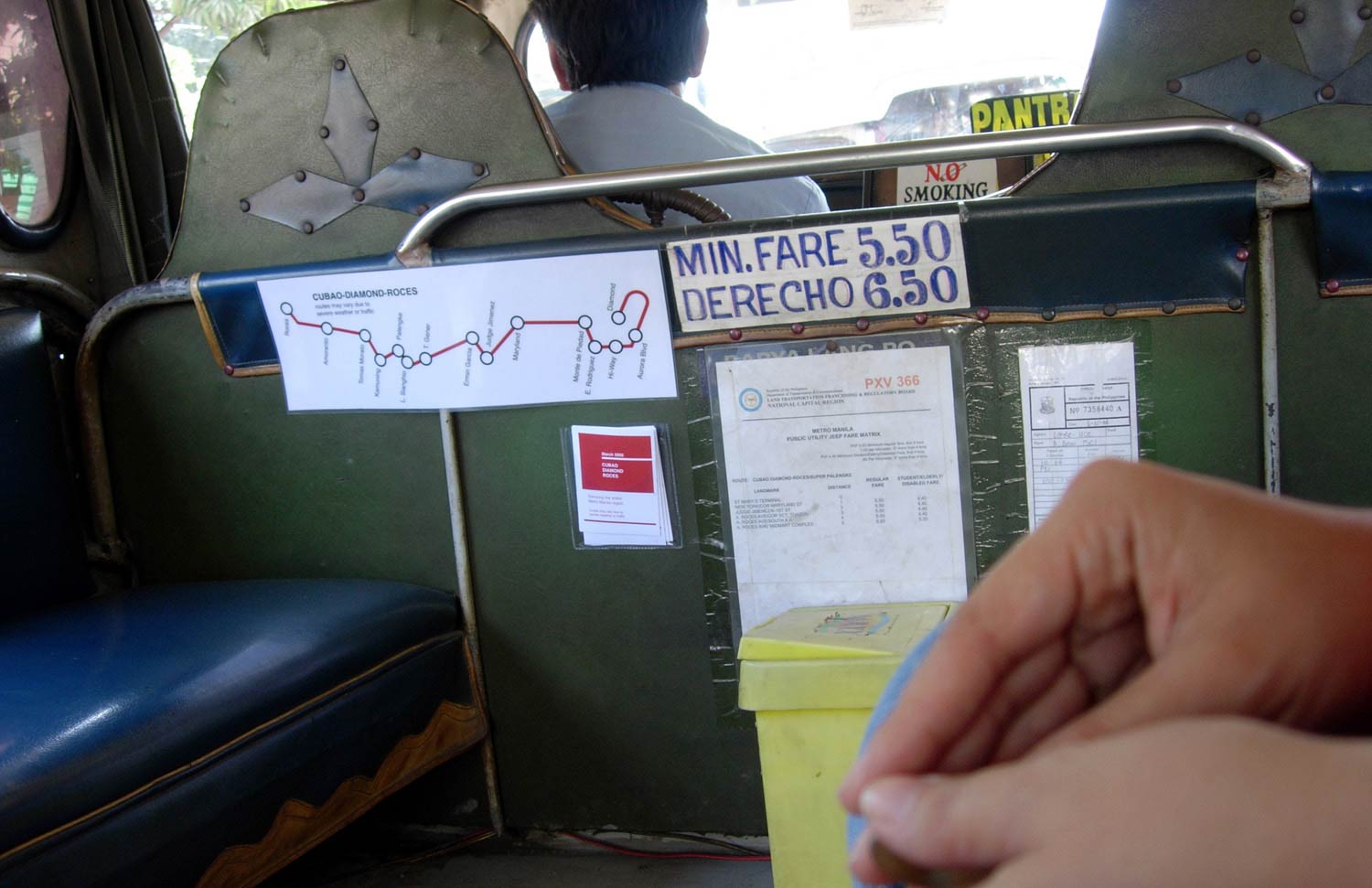
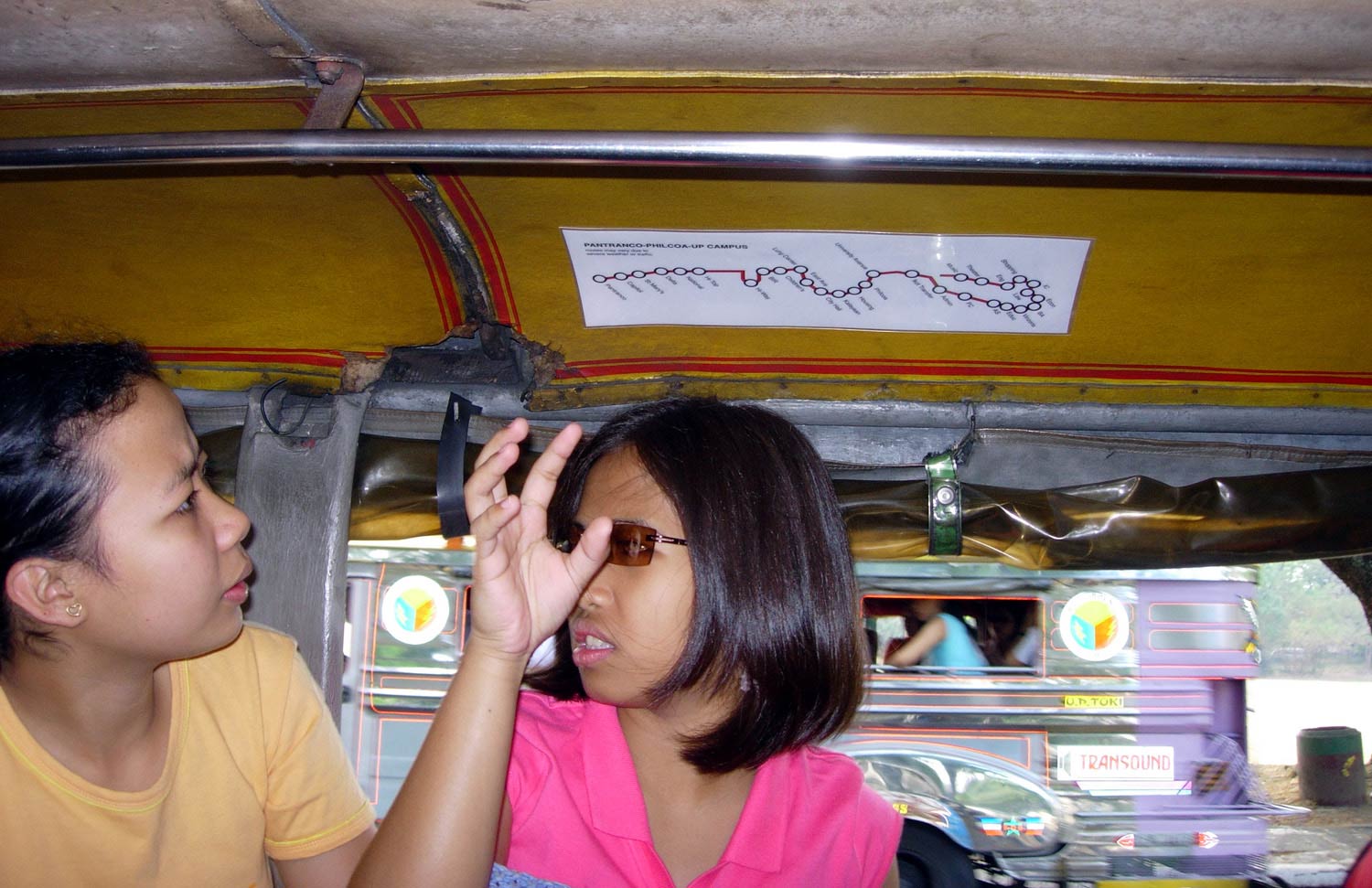
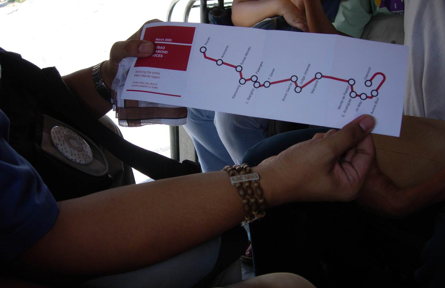
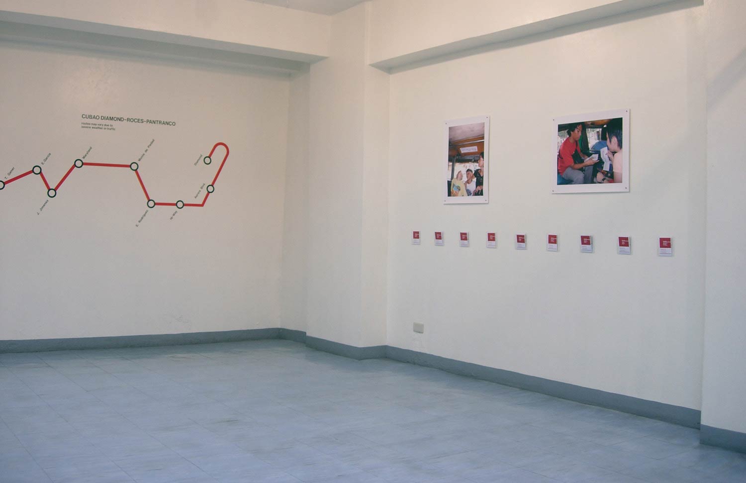
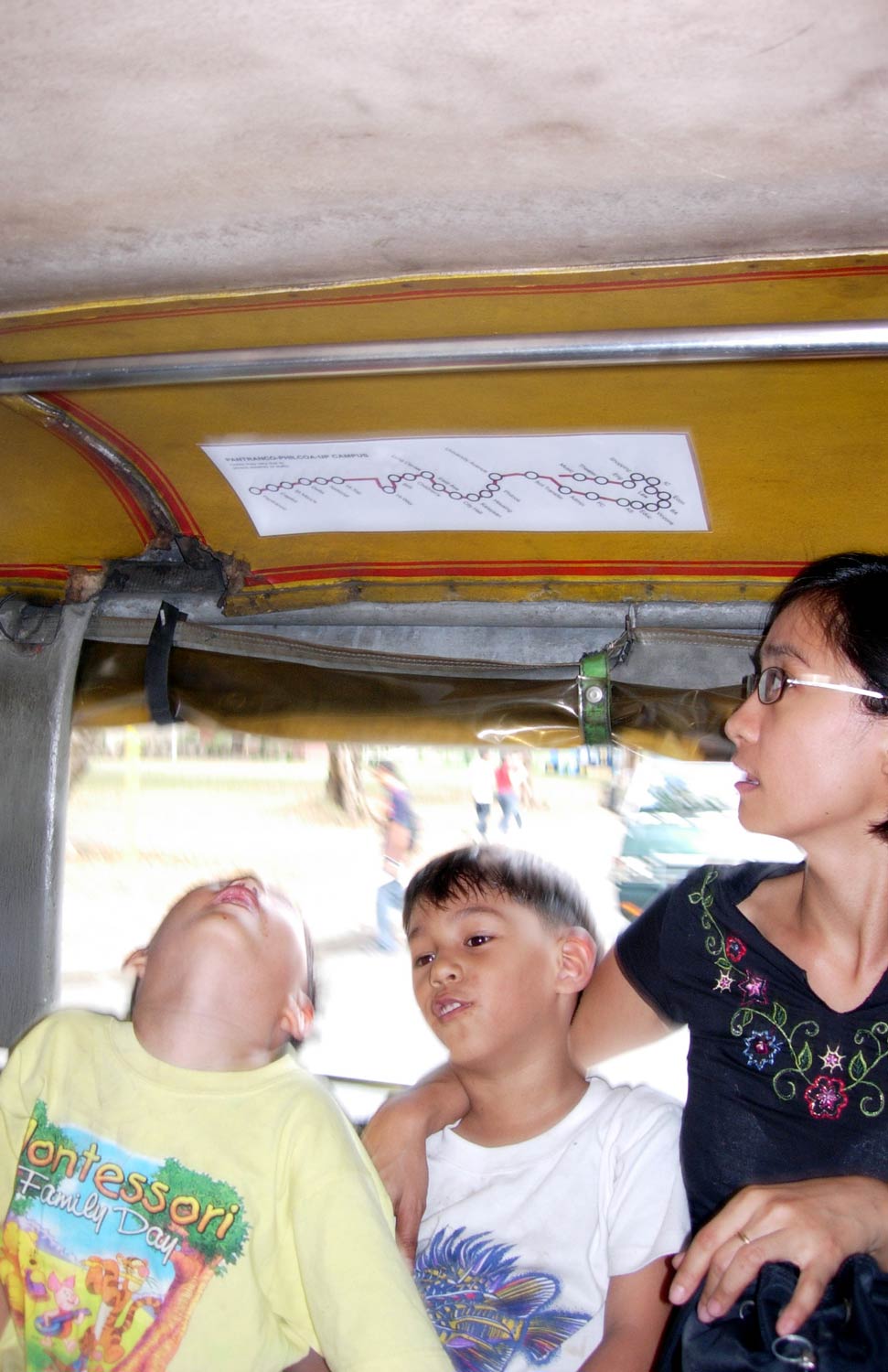
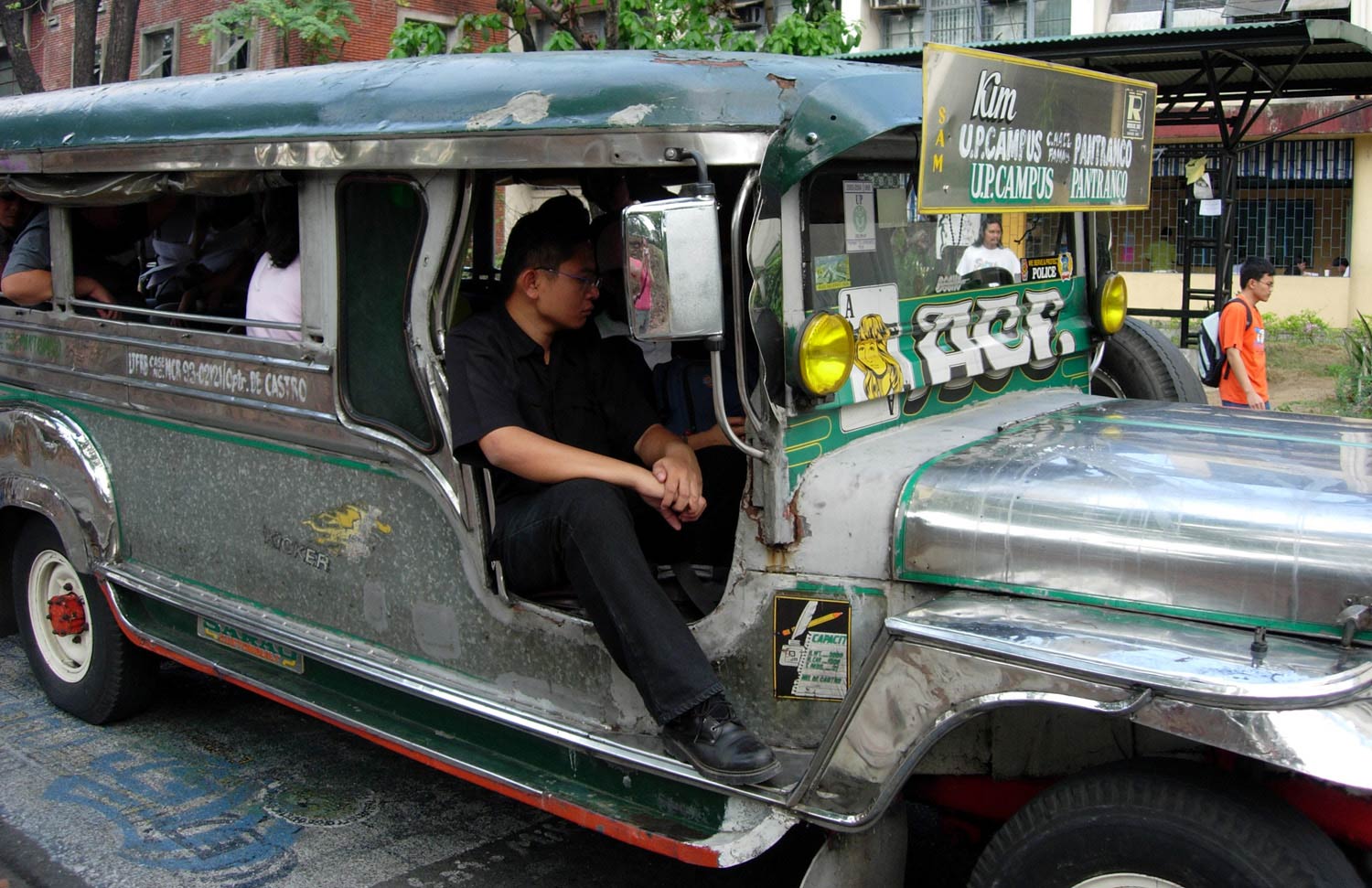
When I first arrived in the Philippines to work as an artist-in-residence in 2005, I learned that my most direct and expedient mode of transportation would be by jeepney. First introduced when the Americans left army jeeps behind after WWII and modified by Filipinos, the jeepney is a now the most common form of semi-public transportation throughout the Philippines. Having never ridden a jeep during my past visits, I was clearly a beginner. I needed to be trained by one of my cousins about where to get on and off as well as appropriate jeepney etiquette, all to make sure that I successfully got to and from my various destinations. After a few solo runs, I decided to install maps on jeepney ceilings and provide takeaway maps to passengers. Many questions came to mind. What does a map connote? Whom does the map serve? How do maps change our perception of a place, a route or a destination? And, if there is a map, will someone actually use it?
Related Text:
Small Acts of Public Service
by Yumi Janairo Roth
Small Acts of Public Service
by Yumi Janairo Roth
