![]()
Barbara P. Buttenfield
Professor Emerita
Department of Geography, University of Colorado - Boulder
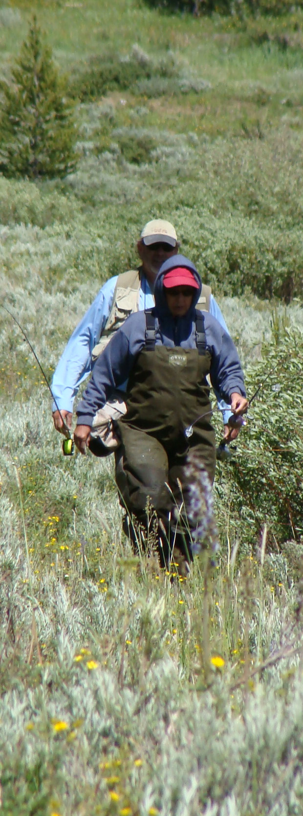
Flyfishing adventures on Michigan Lake
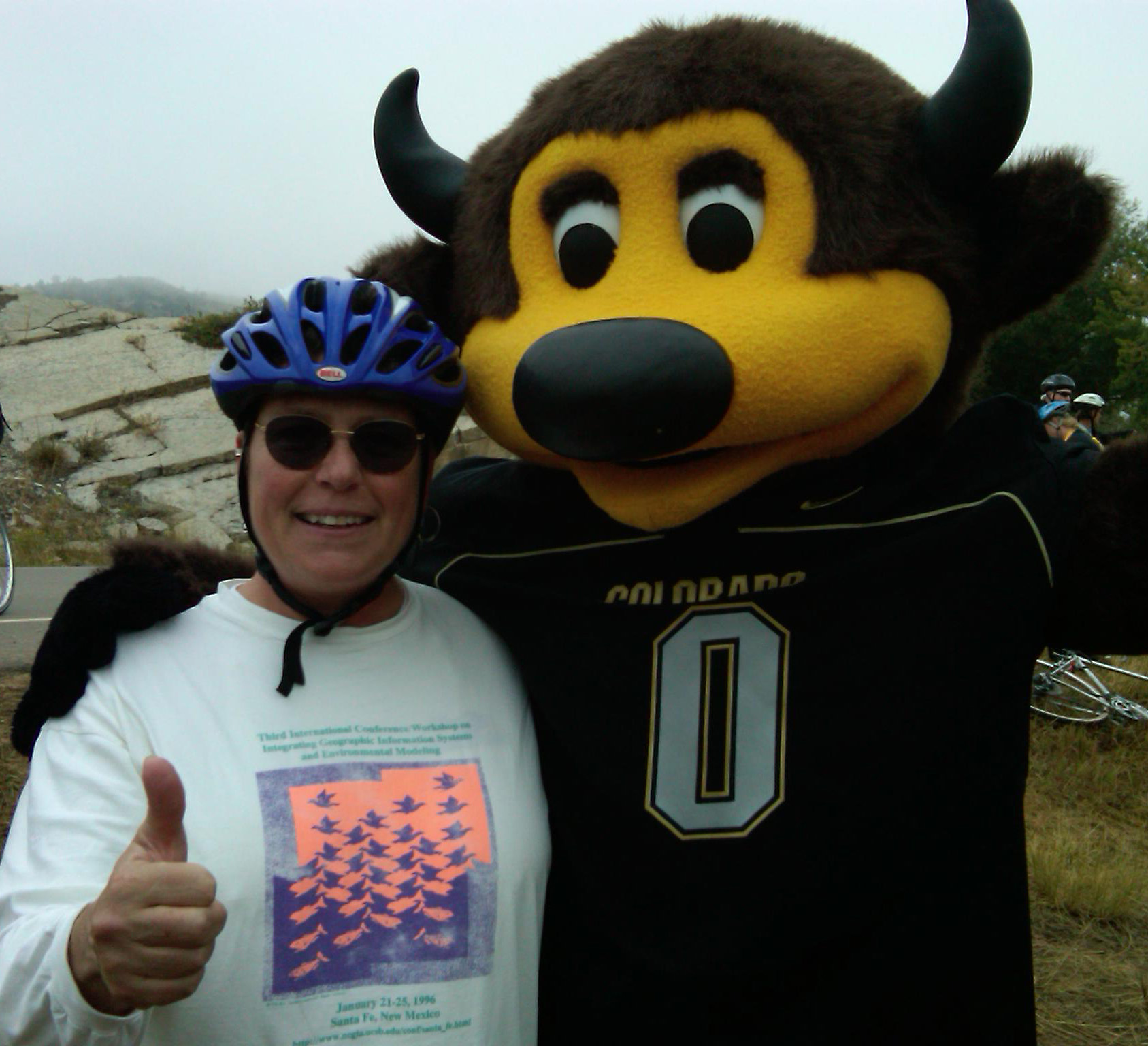
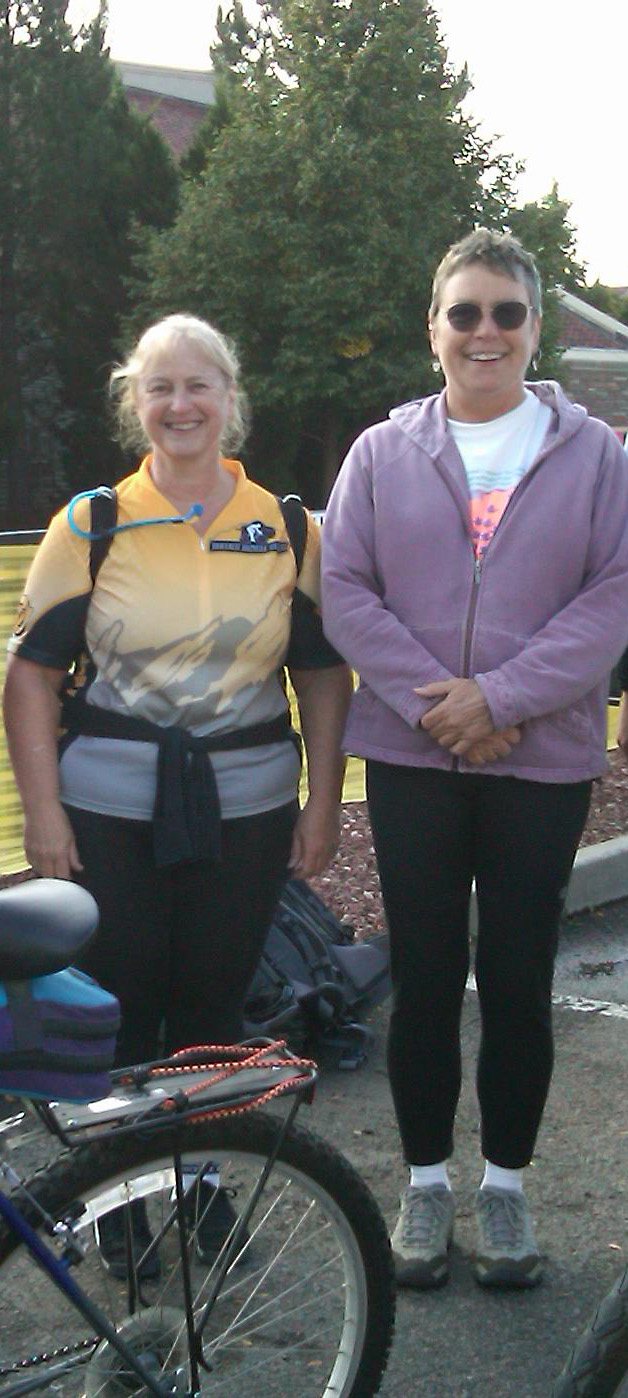
Buffalo Bicycle Classic 2009, with Ralphie the CU mascot and with biking buddy Sue Beatty.
MAIL: Department of Geography, UCB 260,
University of Colorado, Boulder CO 80309
EMAIL: babs@colorado.edu drbabs14@gmail.com
OFFICE: Guggenheim 201H
 <
<
I came to CU-Boulder in January 1996 to build the GIScience curriculum and catalyze GIS activity across campus. I am the founding director of the Meridian Lab, a small research lab in the Geography Department working on GIS applications, as well as on algorithm design and testing to advance knowledge about GIScience. I am a Research Faculty Affiliate at USGS Center for Excellence in GIScience (CEGIS) and at CU Earth Lab , a Grand Challenge Initative combining satellite and ground geospatial data to address questions about landscape change. While I retired from teaching in December 2020, I am still research-active, involved in a number of externally funded projects.
My specific interests are in geospatial data modeling and data integration, multi-scale databases, representations of uncertainty, and cartographic information design. I'm working with USGS to generalize the National Hydrography Dataset (NHD) for scales ranging from 1:4,800 (civil engineering mapping scale) and 1:24,000 (topographic mapping scale) to 1:1 million (thematic mapping scale) and smaller. Our work currently focuses on machine learning and transfer learning to make hydrographic feature extraction more efficient. Another focus is on building a software toolbox for quantitative assessment of generalization results.
I just completed co-leading a project "Croscalar" funded by NSF to develop an integrated hierarchical data framework to study spatiotemporal patterns and relationships, and to adapt existing analytic methods to work within that framework.
I also work on improving the accuracy of terrain-based measurements. Advances in processing speeds permit relaxation of what we call the "rigid pixel" paradigm, where Digital Elevation Models (DEMs) are assumed to contain a uniform and planar elevation. Distances measured in this paradigm can be thought of "as the crow flies", and these metrics introduce errors into modeling. In truth, we can and should measure distance "as the horse runs", accepting that elevation can vary within a pixel. As larger pixel sizes are incorporated into environmental models (for climate change or for natural hazards) and especialy in rough terrain, such errors can propagate dramatically, affecting estimates of elevation, distance, surface area, and impacting any geospatial analysis that is often based in distance metrics.
A third research interest focuses on data integration. I recently directed an NSF project on census demography which integrated PUMS microdata to refine tract-level summary attributes. Dasymetric modeling can improve small-area estimation, and Monte Carlo simulation establishes statistical confidence in the results. Dasymetric modeling work continues with current project to identify suitable locations for renewable energy farms in rural communities.
I served on the U.S. Census Scientific Advisory Committee 2012-2019, as President of the American Cartographic Association (now the Cartography and Geographic Information Society, CaGIS) from 1995-1996, and was a member of the National Research Council's Mapping Science Committee from 1992-1998. I am a Fellow of the American Congress on Surveying and Mapping (ACSM) and a Fellow of the University Consortium for Geographic Information Science (UCGIS) . In 2001, I was the inaugural recipient of the UCGIS National GIScience Educator of the Year Award. In 2020, I was honored with the AAG's Distinguished Teaching Honors.In 2023, I received the Cartography and Geographic Information Society's (CaGIS) Distinguished Career Award.
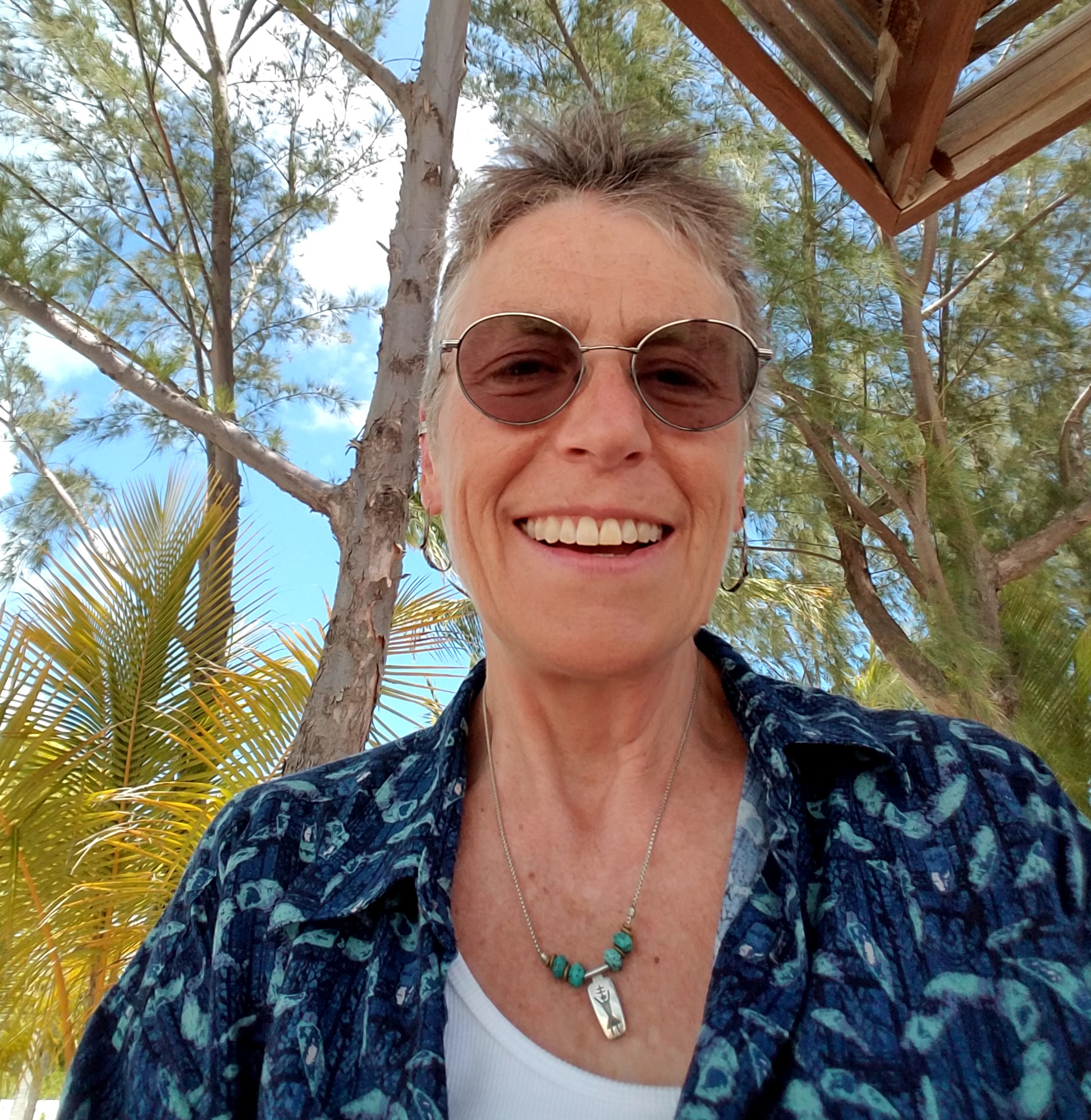
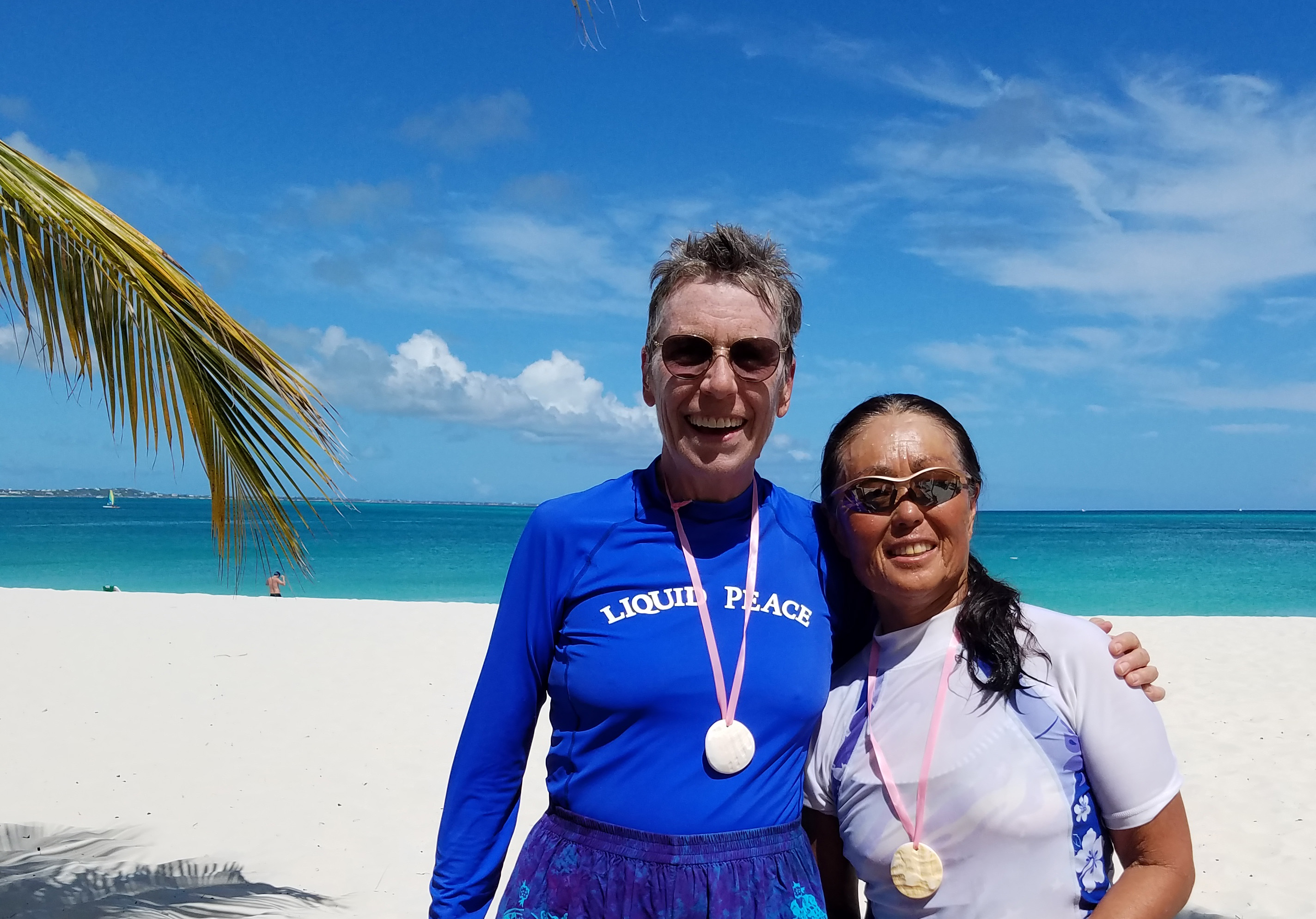
On Turks and Caicos in 2017 following a first open water competitive swim with swimming buddy Karen Ishibashi.
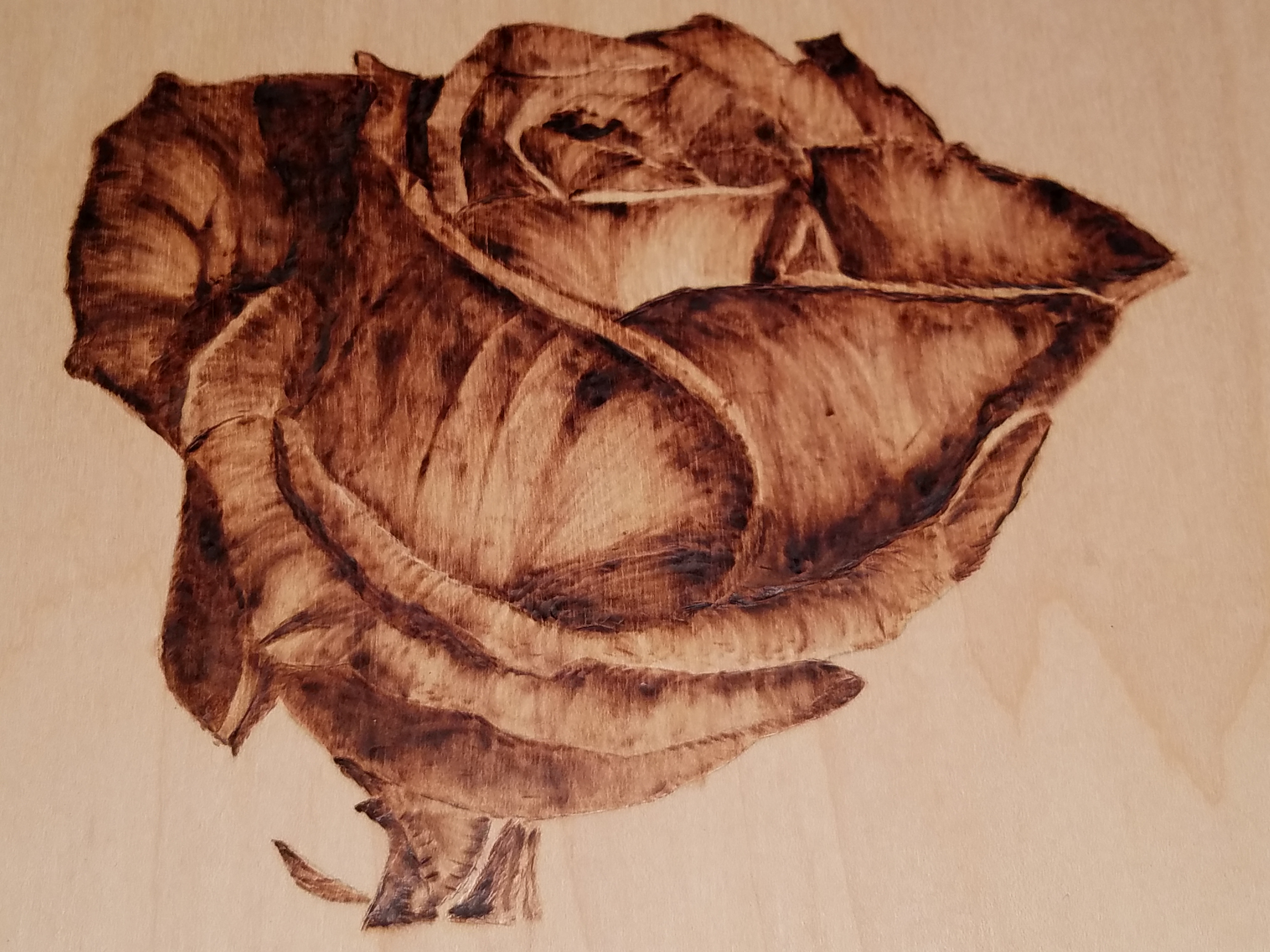
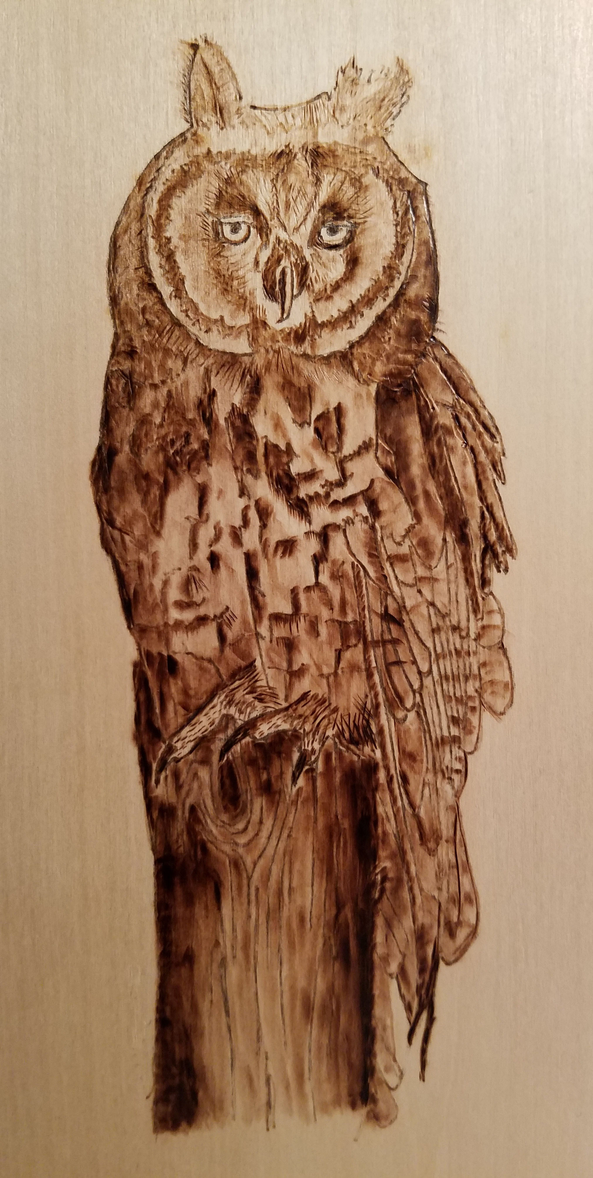
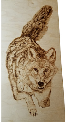
On a personal note, I am learning pyrography, which involves drawing and shading with heat. So far, I work on wood.