![]()
Barbara P. Buttenfield
Professor Emerita, Department of Geography, University of Colorado - Boulder
RESEARCH

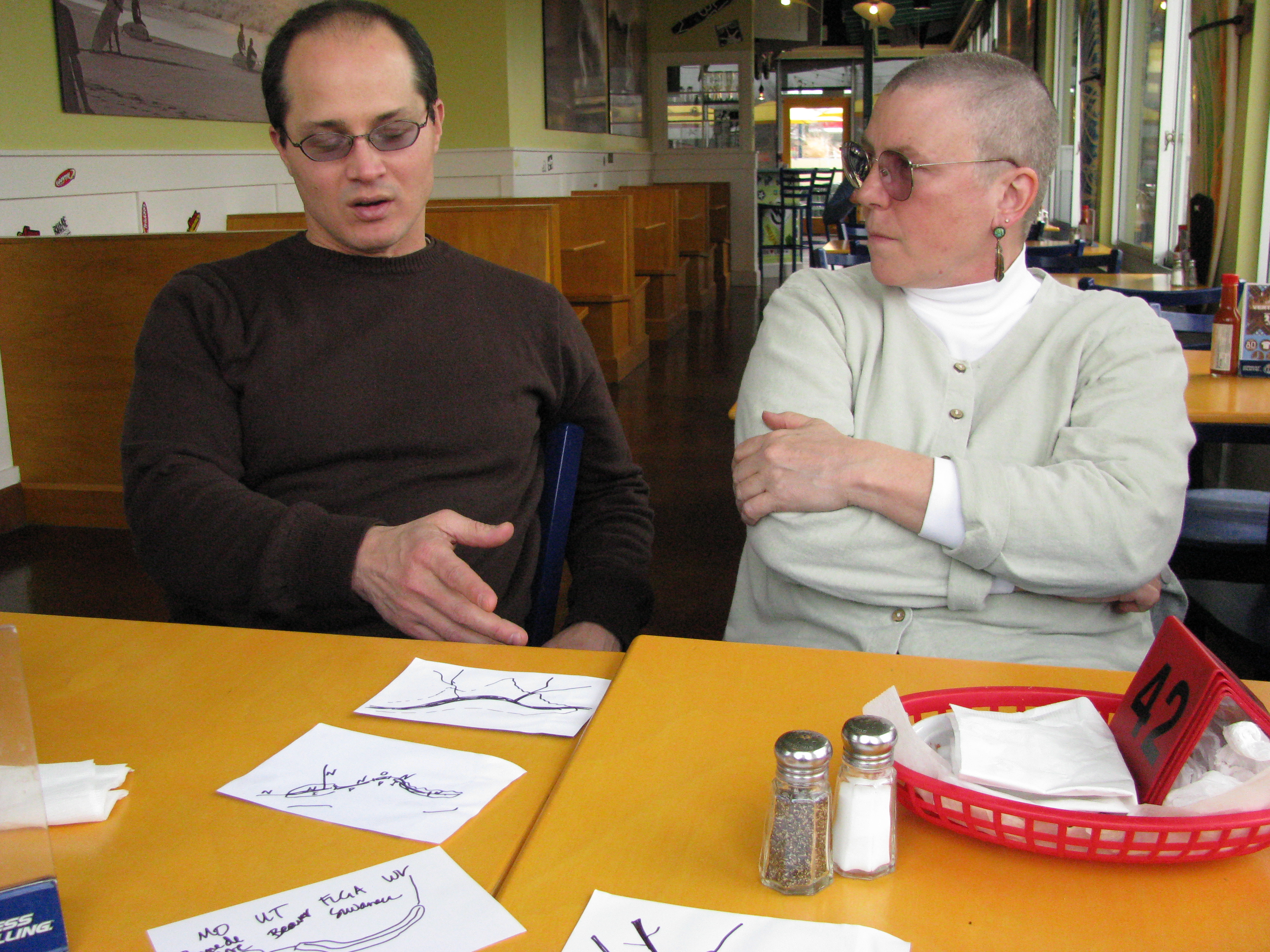
Working over lunch with Larry Stanislawski (USGS) on an algorithm to delineate hydrographic centerlines automatically. I had just shaved my head to raise money for kids with cancer.
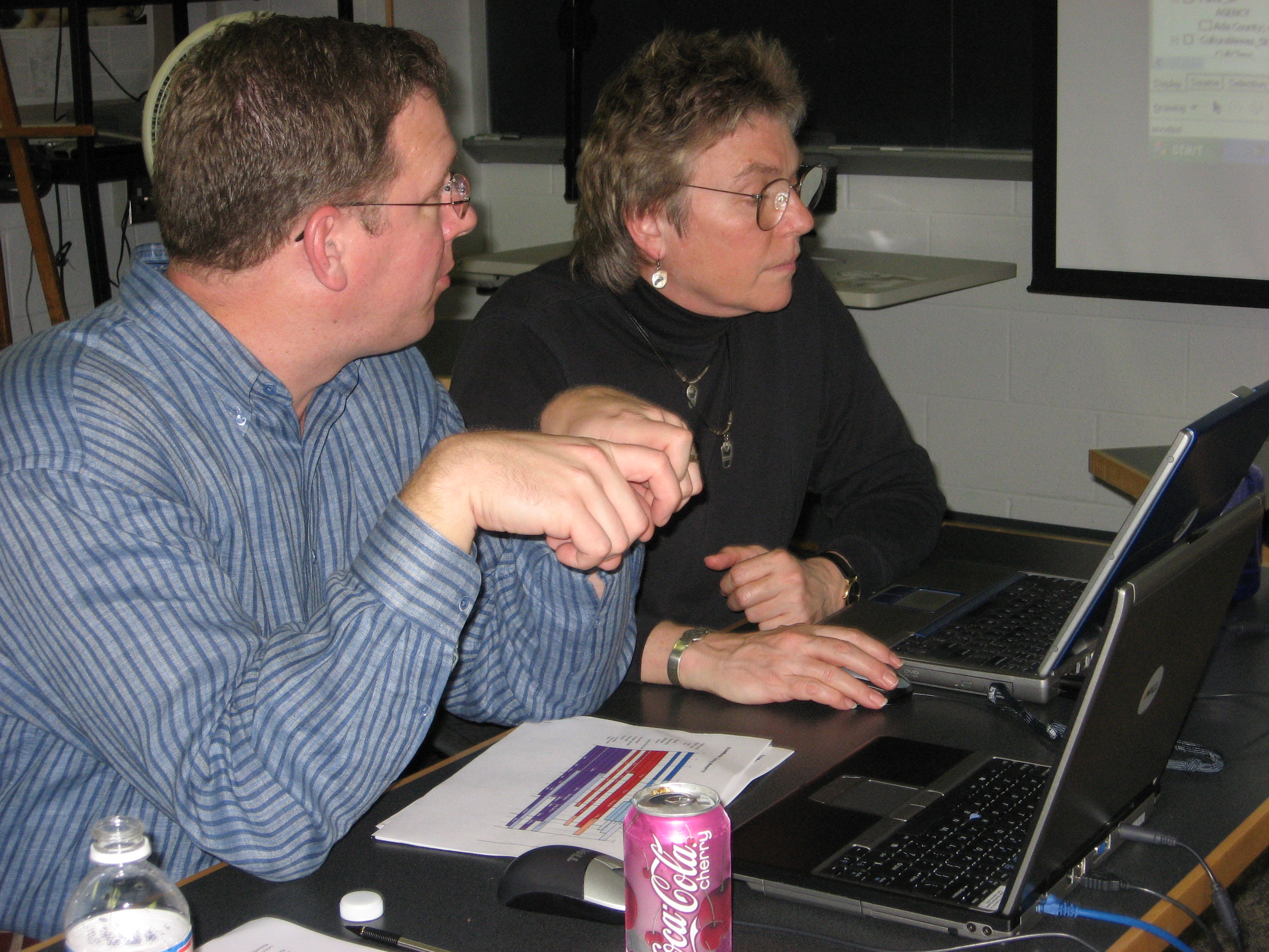
Working with Charlie Frye (ESRI) to debug a Python script that measured conflation errors in simplified data.
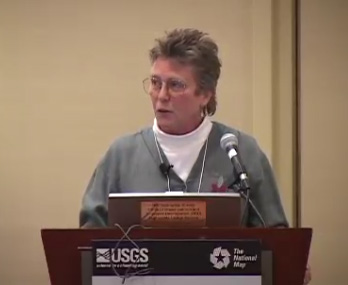
Presenting the keynote address at the First National Conference on The National Map in 2011.
A recent research project (Croscalar) with Professor Yi Qiang (U. South Florida) and Professor Nodari Sitchinava (U. Hawai'i) adapts statistical and spatial analytical methods into a hierarchical data framework that facilitates integrated analysis of spatial and temporal patterns. The hierarchical framework allows space and time to be re-organized across a progression of scale or resolution. Data slices can extract individual places or timeslots to examine relationships, trends and outliers. Software tools are developing capabilites to examine and to visualize point clustering, spatial dependence, and attribute uncertainty at single and linked spatial and/or temporal resolutions. Tutorials have been developed to help others utilize the tools we develop. Check our website on github or here on this CU website.
Another project just completed is TRELIS, Training and Retaining Leaders in STEM-Geospatial, that has run a series of annual NSF-funded workshops around the USA to support women following various career paths in GIS, Remote Sensing, Cartography, Library Science and other geospatial areas to establish and nurture professional skills relevant to their career paths, to encourage development of professional networks, and to realize career tracks that may shift among public sector, private enterprise, academia, and consulting work.
I am also involved in decades-long collaborative project on cartographic generalization with Larry Stanislawski, and Ethan Shavers at the USGS Center for Excellence in Geospatial Sciences (CEGIS) as well as Professor Barry Kronenfeld at Eastern Illinois University.. The premise of our work is that because stream channels reflect terrain and climate conditions in a landscape, generalization processing should be tailored to landscape type. We refer to this as "tailored" or "adaptive" generalization. The research develops algorithms for scale-changing, partial polygon pruning, AI-based feature extraction from DEMs, classifying landscape types. We enrich the hydrography with attributes to guide geoprocessing. Collaborating with Professor Barry Kronenfeld (Eastern Illionois University), we have developed an area-preserving generalization algorithm for vector data that protects polygon topology. Because USGS works with very large data sets, the entire process must be automated and thus our work involves big data and pattern recognition, machine learning and geoAI.. We are also developing a software toobox with metrics to evaluate the quality of the processed data.
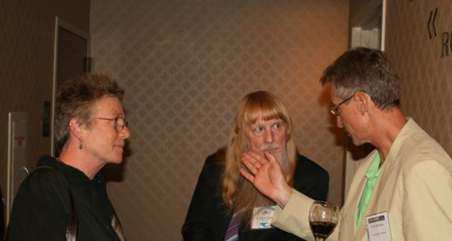
Talking with Lynn Usery (USGS) and Piotr Jankowski (San Diego State University) at an AutoCarto Conference.
Last modified 8 January 2024